Explore Antarctica Through Data
An educational platform featuring real-time NASA satellite imagery, climate data, and Antarctic research from Earth's most extreme continent
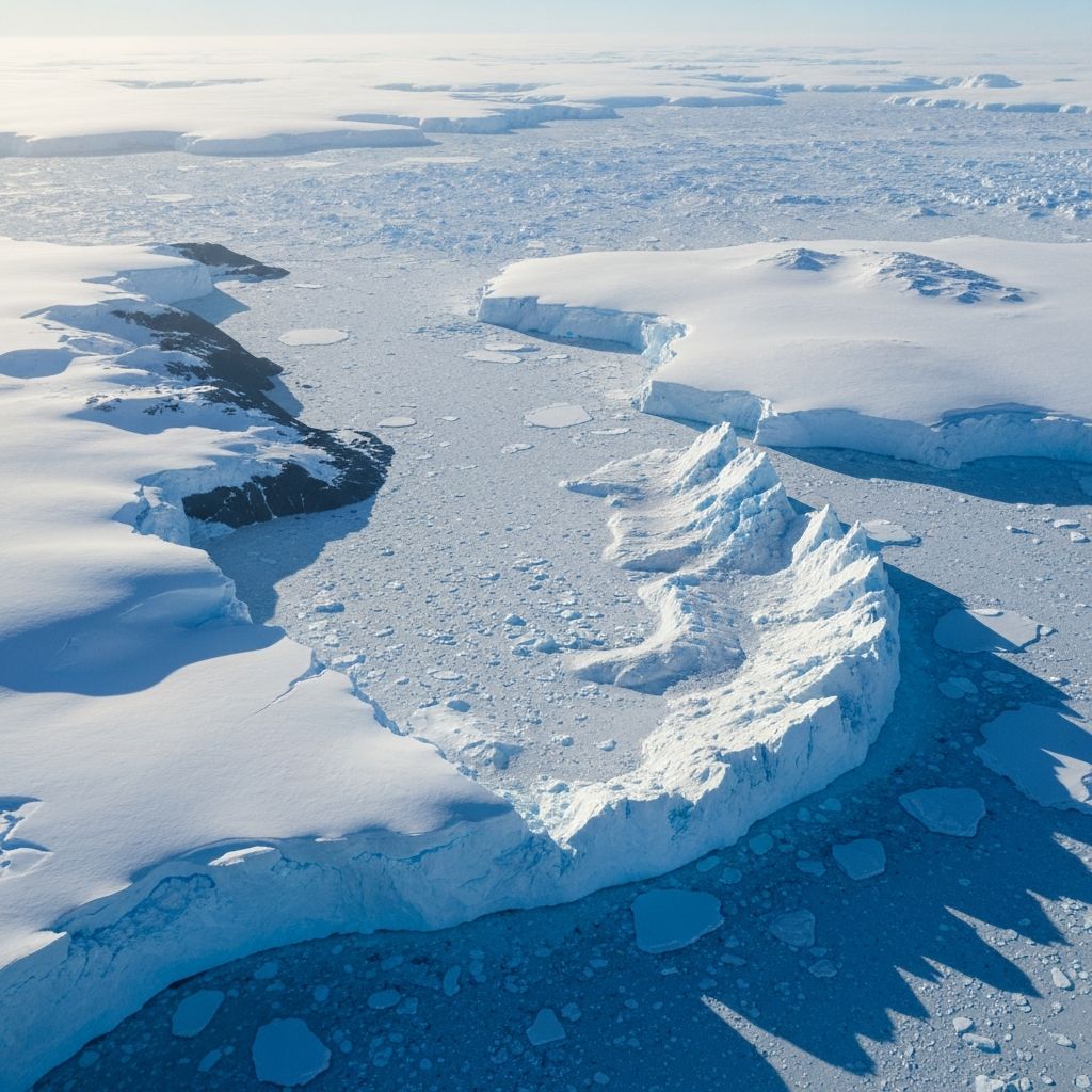
30-Day Satellite Time-lapse
Watch Antarctica evolve over the past month with daily VIIRS true color imagery
VIIRS True Color Imagery
Loading imagery...
Downloading 30 days of satellite imagery...
0%